
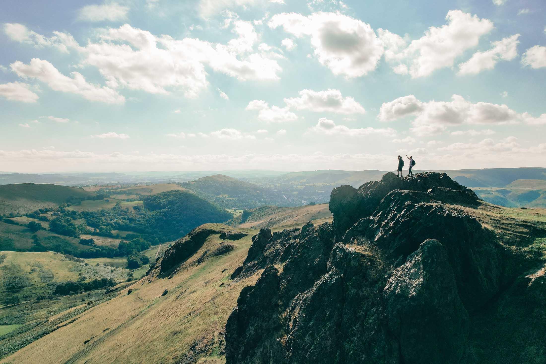
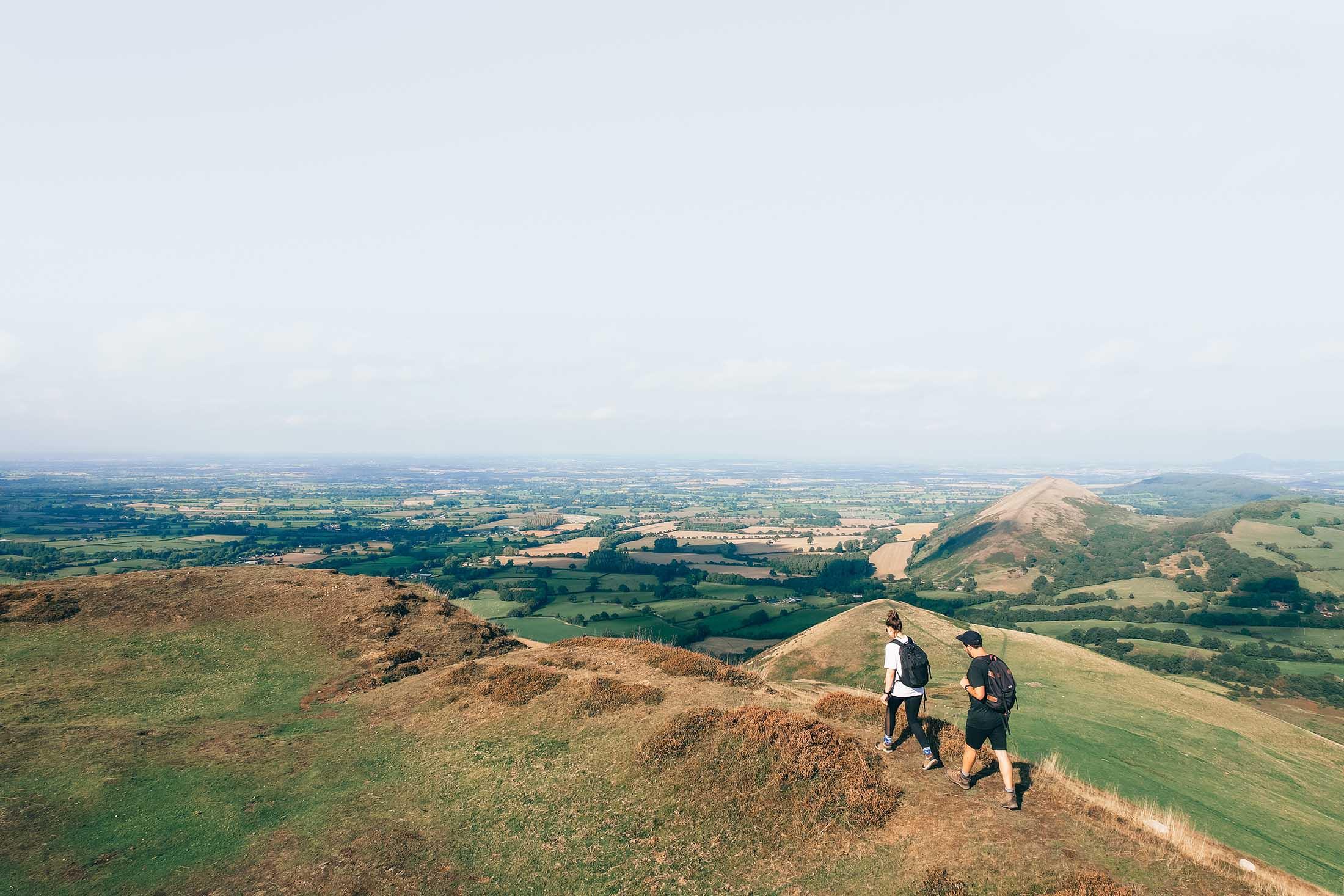
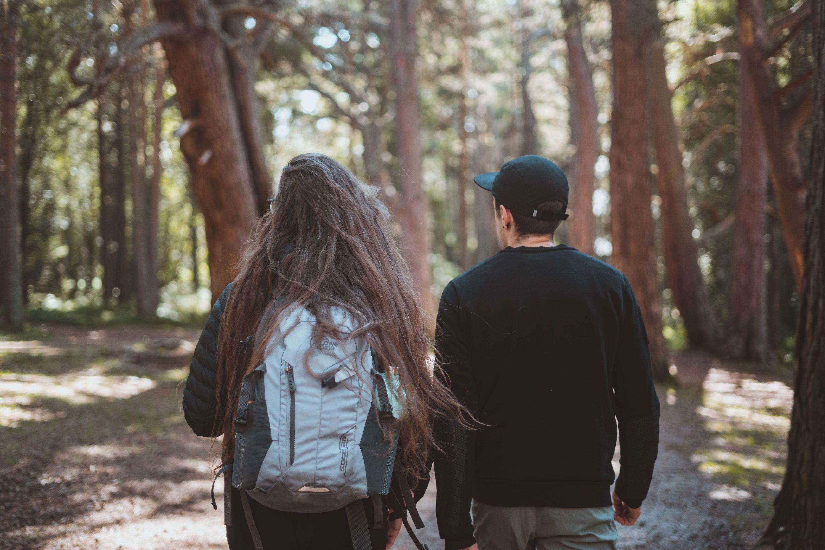
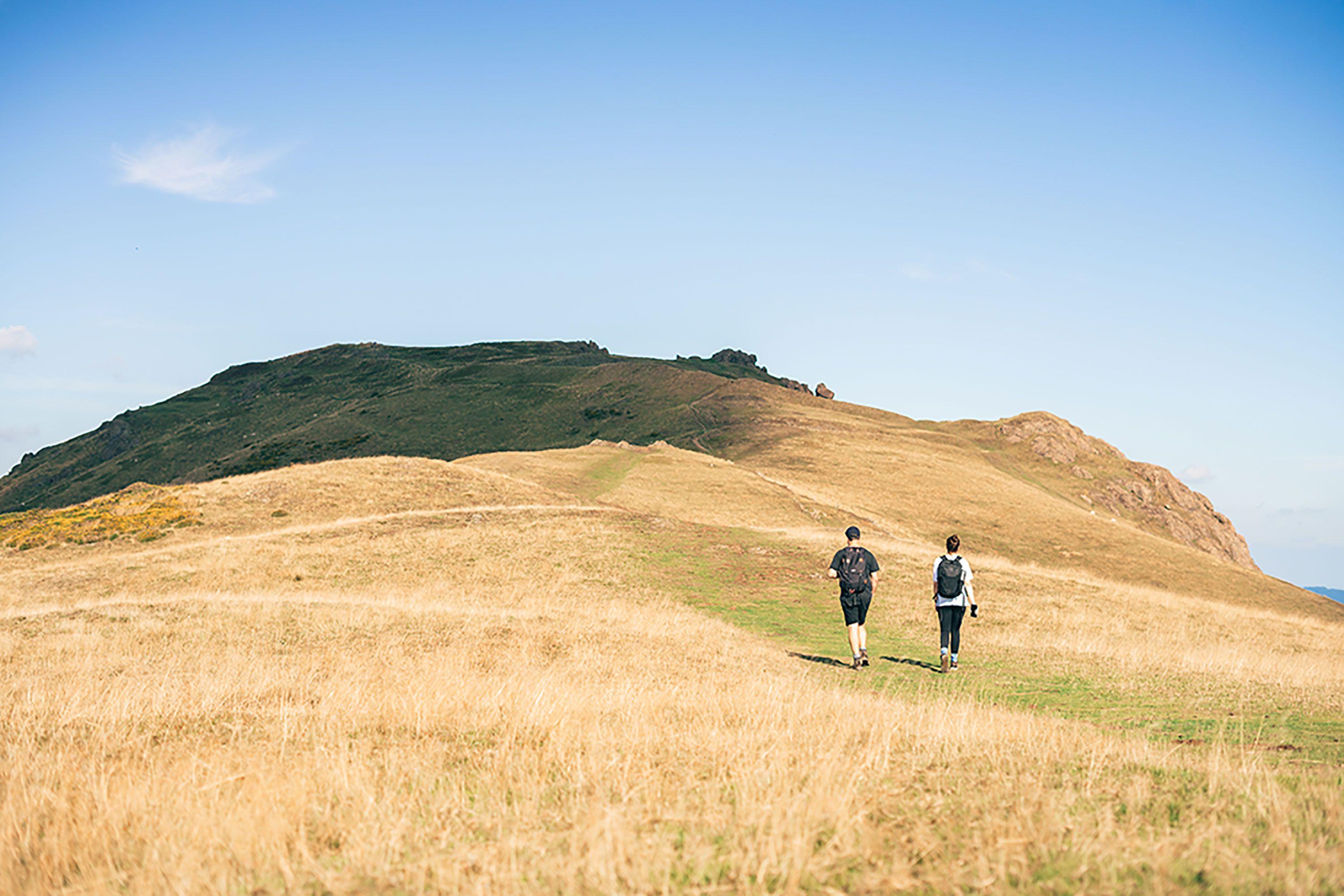
Top of the world
With our fields of vision so often limited by buildings and screens, a mountain hike is an intoxicating shift of perspective. Here are some of our favourite places to reach up and touch the sky.
Grasmoor, overlooking Buttermere - The Lake District
Distance: Around 6.5 miles
Terrain: Steep mountain paths; some loose scree in places
Difficulty: Challenging. For adults and teenagers with good fitness
Stay at - Hinterlandes
This is a tough route but also an extremely rewarding one, as it not only takes in the peak of Grasmoor, but those of Whiteside and Hopegill Head. You really want to be making an early start, even in summer, to give you plenty of daylight and make sure you have plenty of food and drink to keep you going.
Park at Lanthwaite Green Farm (there’s more space along the road to Buttermere if that’s full) and begin your ascent up the smaller fell of Whin Ben via the path leading from the car park. Once you have passed Whin Fell you will begin to ascend Whiteside. The path brings you to the top of the Whiteside Ridge and follows its edge. Take care, especially if you’ve got a dog with you, as there could be a bit of rock scrambling needed here and there. Keep following the path along the top of the ridge (hold onto your hat), veering towards the right, and you will eventually reach Hopegill Head, where the route turns towards Sand Hill and continues south along the Coledale Hause path.
Keep heading south past Eel Crag, following the beck, which you eventually cross to join the path that along the bottom of Dove Crags and up to the summit of Grasmoor, which is marked with a wind shelter.
To descend, head back the way you came but follow the path down Lad Hows, which means some fairly steep, grassy slopes that drop you into the Rannerdale Bridge car park, about half a mile south of your start point.
Llanthony Priory –Brecon Beacons
Distance: Around 5 miles
Terrain: Well-trodden footpaths with some uneven spots
Difficulty: Moderate
Stay at Willowbrook, Gwennol, or The Nook
This is another route with one big climb followed by some gentle ridge walking. You start from Llanthony Priory, where it’s free to park and worth a few minutes wandering the ruins if you’ve not been before. At the entrance to the site you’ll see a big field with woods on the far side. Walk diagonally across and into the trees, which are the Wirral Woods. From here you’ll have signage to follow, as the path runs along the national trail towards Hatterall Hill and then joins the Beacons Way, two major walking routes in the area. If you’re in any doubt about direction, you should be heading towards Grouse Butts and Cwmyoy.
This is where you make the walk’s only big climb, up to the ridge where you’ll have spectacular views of the Ewyas Vale and the Black Mountains, with the iconic Sugar Loaf peeking up in the distance. At the stone marker and cairn (or cairns, as some hikers add their own piles of stones) you turn left and join yet another nationally renowned trail, the Offa’s Dyke Path, which you follow for a couple of miles until you see another stone marker which signifies the route's highest point, at 605m. This is where you turn back to Llanthony and there are mixed cheers and groans, because it means going downhill. The descent starts off gently enough, but gets quite steep as you drop down the valley. Pause to rest the knees and take in views of Llanthony Priory from above, before heading back down to the car park through a series of fields.
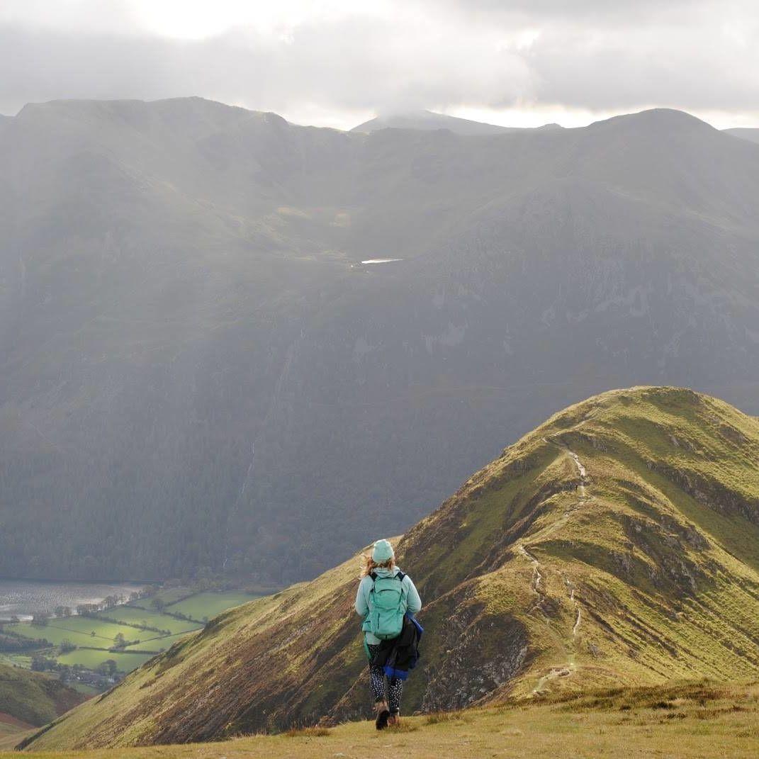
The Braeriach circuit from Whitewell - The Cairngorms
Distance: 16.25 miles
Terrain: Rocky ridges, tough climbs, possible river crossing and bogs
Difficulty: High – most people walking this look like mannequins from outdoorsy shops
Stay at – Inshriach
This is a big one; with proper gear, good maps and planning even more important than they normally are when mountain hiking. It takes you to the peak of Braeriach, the third highest mountain in Britain at 1296m, with dramatic views of corries and lochs as your reward for a solid bit of Scottish windblasting. There are a couple of routes up Braeriach, but this one is a circular rather than the out-and-back from near the ski centre. What we’ve put here is just a very rough guide to give you an idea.
From a public road near Loch an Eilein, the route follows initiallly well-surfaced trails, with your eventual destination, the peak of Braeriach, looming in the distance above a forest of Scots pines. It winds through the woods and past Loch Deo and over an iron bridge before you begin to climb and leave the trees behind as sparse, rocky ground takes over. You eventually arrive on Sròn na Lairig ridge with views right down through the pass in the mountains.
After you hit the summit of Sròn na Lairig, you get a brief respite from climbing as you cross a bealach, before hitting the thighs again as you pull yourself up the slopes of Braeriach itself. These are wide at first but narrow to a sharp ridge. Naturally, the summit, not far past the narrow ridge section is a stunning place for a break. If the weather is against you, it might be best to return the way you came, but the circular route takes you down via Gleann Einich and means getting a rare view of the large loch nestled in Coire an Lochain. There are also tricky sections you may want to avoid, like steep slopes, boggy ground and the Beanaidh Bheag, which varies from a stepping-stone crossing in dry weather to being utterly impassable in spate. The descent brings you down to the Rothiemurchus forest, with all the hard work done and a gentle wander among the pines as the final stretch.
Devil’s kitchen - Snowdonia
Distance: 4.5 miles
Terrain: Scree and scrambles
Difficulty: Not demanding in terms of distance or altitude gain, but scrambling can be tough
Stay at -Ty Twt or Wonderfully Wild
The Devil’s Kitchen, named for the plume of steam that rises out of a crack in the black rock and was said to show that the devil was cooking, is a slope of scree and rock that makes for some challenging hiking and scrambling (getting your hands involved as you climb/descend). There are several routes that lead up through the gully, with options for adding various peaks and scrambles depending on your fitness levels. One of the shorter ones is a 4.5-mile trail which gives you a good taste of the area’s terrain. It starts from Ogwen Cottage and follows the lake path around Llyn Idwal. From there you enter a dramatic boulder field that climbs up to the Devil’s Kitchen itself. Passing through the gap is an atmospheric experience. With the sheer faces of the cliff on either side it’s tempting to stare up as you walk, but watch your footing and take your time! Once you’re at the top, you head left towards Glyder Fawr and follow the cliffs until you descend onto Y Gribin ridge via a short scramble. A more conventional descent leads you back down to the east and your start point at Ogwen Cottage.
Ben Lomond, out and back – The Trossachs
Distance: 7.5 miles (in total, not each way)
Terrain: Clear paths but potential ice in winter
Difficulty: Moderate to high, depending on season
Stay at - Venacher cabins
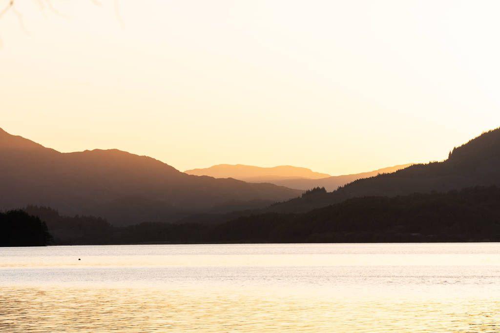
Despite the wild feel of this stunningly scenic hike, it’s actually possible to do it as a day trip from Glasgow, as long as you don’t mind a very full day. Buses run from the city centre to Tarbet, taking about an hour and a half. From Tarbet you jump on a ferry across the loch to Rowardennan, which sits at the base of Ben Lomond. With 10am sailings taking 45 minutes, you’ll end up starting the hike a little after eleven, so the out and back from Glasgow is definitely for summer only and you’ll still need to be prepared for changeable weather at altitude. The hike itself starts off on a well-trodden path through oak woodland. As you begin to climb, it gets a little rockier and you catch your first sight of the loch sparkling (if you’re lucky with the weather) below you. After a fairly strenuous climb, the path levels out slightly. By now you have incredible views of the loch and its scattering of islands, and the peak of Ben Lomond looms above you. From here it becomes a classic mountain walk – you zig zag up the slope towards a peak which seems never to be getting any closer. Suddenly you come to a point where you can see down into a corrie to the east, a moment which gives you a sudden sense of height almost more powerful than the loch views. A little further on, you’re finally at the summit and you can sit with one hand on the sky and take in the misty peaks fading into the horizon in every direction.
Why we're one of the highest scoring travel B Corps in the world
People
We're majority employee owned, which means we all get a say in how the business is run.
Profit
Our Charitable Trust uses 24% ownership of the company to support environmental causes
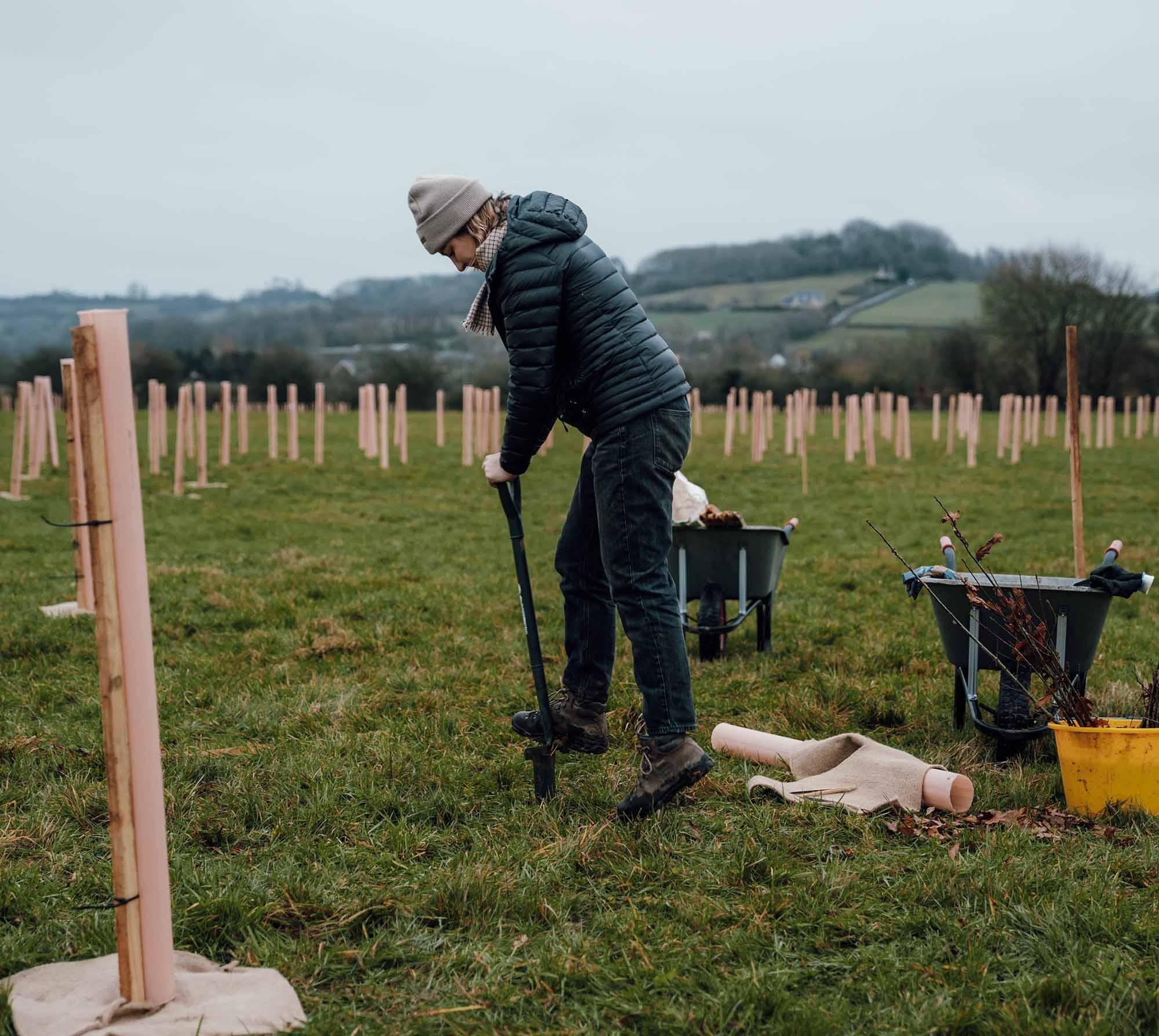
Planet
We're committing to raise £50,000 by 2027 to help protect nature in our national parks.