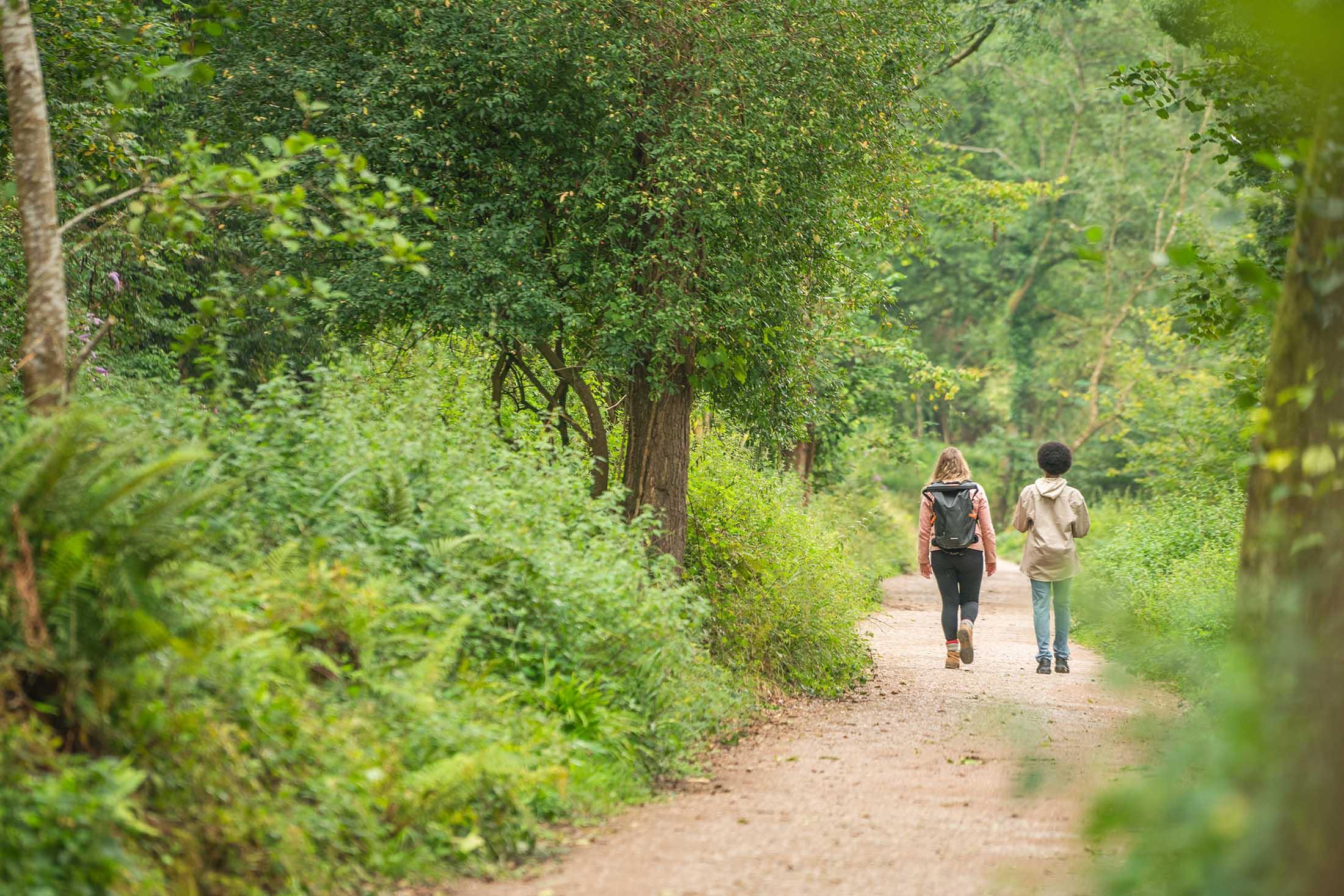


Our favourite walks in Shropshire with amazing views
Between Birmingham and the sea sits the Shropshire AONB, in all its verdant glory. The area is known for being divided roughly between the North and the South, with most of the large towns and population being found in the North, and the South having almost no large towns, and instead having a cornucopia of hill ranges, river valleys – large and small, woodland of all kinds ranging into the thousands of hectares. One of the most sparsely populated counties in the whole of England, it’s perfect for some alone time out in the wild – and without further ado, here’s our list of our favourite walks to find that peace and quiet.
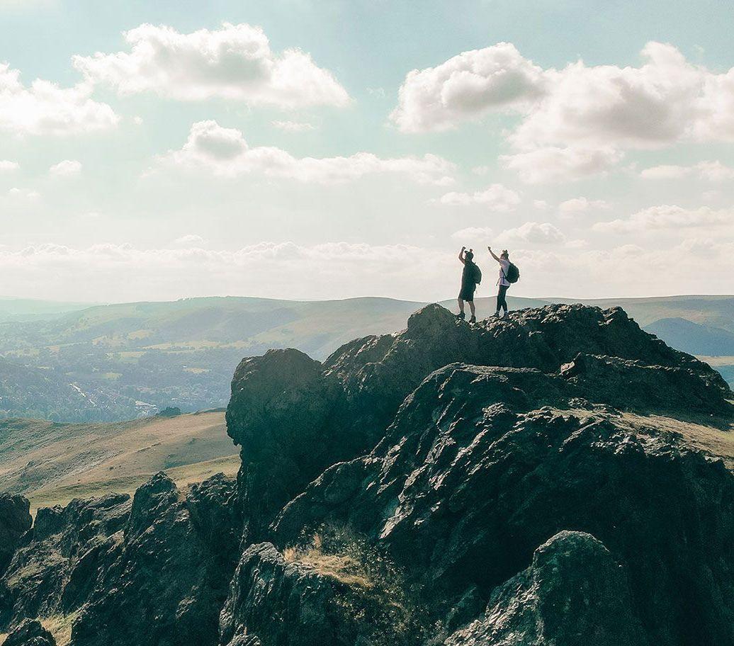
Caer Caradoc from Church Stretton
Caer Caradoc is an Iron Age hill fort and stands at 459 metres high, and if it’s clear at the top, you can see the peaks of the Brecon Beacons in Wales. At three and a half miles, this route is give or take two and a half hours to complete, though the power walkers amongst you may shave a few minutes off here and there. Caer Caradoc hill is relatively easy to climb from Church Stretton, a nearby market town where there’s convenient parking. Starting here, however, it makes both the approach and descent a touch steep. For a gentler incline, start at the village of Cardington, found two miles east of Church Stretton. The routes are easy to follow and they’ve been well surfaced and maintained, making it a great route year round. Though you may want to go on a clear day to make the most of those views. For the little explorer in you, there’s a cave close to the summit, if you can find it!
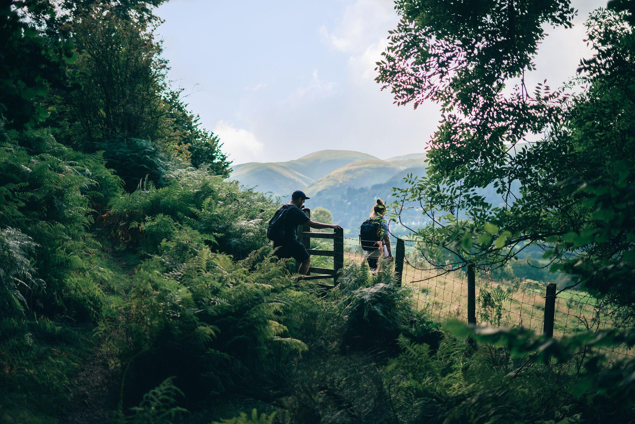

Long Mynd
Found near to Church Stretton once again, Long Mynd is between the Stiperstones range to the west and the Wenlock Edge to the east. Long Mynd is a major part of the Shropshire hills and is often referred to as ‘Little Switzerland’. Regarded as the most popular of the Shropshire hills, this seven-mile ridge is quite the sight to behold – there’s a several steep-sided valleys that cut into the ridge creating some incredible, if literally breath-taking, walks to the summit. The most popular walks, Carding Mill Valley, is maintained by our beloved National Trust. Another very popular ascent is the Ashes Hollow walk, which stretches a long way through a meandering valley amongst heathland bustling with wildlife.
Linley Beeches
This circular route makes its way past the famed course of Linley Beeches, beech trees planted by the local MP and amateur botanist, Robert More – who’s often credited not just with this lasting achievement, but with introducing the larch to England. The course of this walk heads back through the West Onny river valley, and on a clear day, provides some stunning views of the Shropshire AONB as you descend.
Offa’s Dyke Path
Offa’s Dyke Path is a 177mi path, that in its entirety takes 14 days to complete, and roughly follows the length of the English/Welsh border. Most of us, however, don’t have the time to perform a walk that rivals a Greek epic poem, so take perhaps just the parts that run through Shropshire. The three sections inside the county lines: from Knighton to Kerry Ridgeway near Bishops Castle, one that passes by Montgomery, and another from Llanymynech crossing Oswestry Old Racecourse to Chirk Mill. Of these, the best for stunning views is the section from Knighton to Kerry Ridgeway, as it has the best-preserved sections of Offa’s Dyke, the most scenic views, and its meandering course goes over several high points with great views that descend to picturesque valleys.